Carlo Lehmann · 26 September 2026
Tracking Ecological Transformations in Havenpond's Wetland Expanses Through Long-Term Monitoring
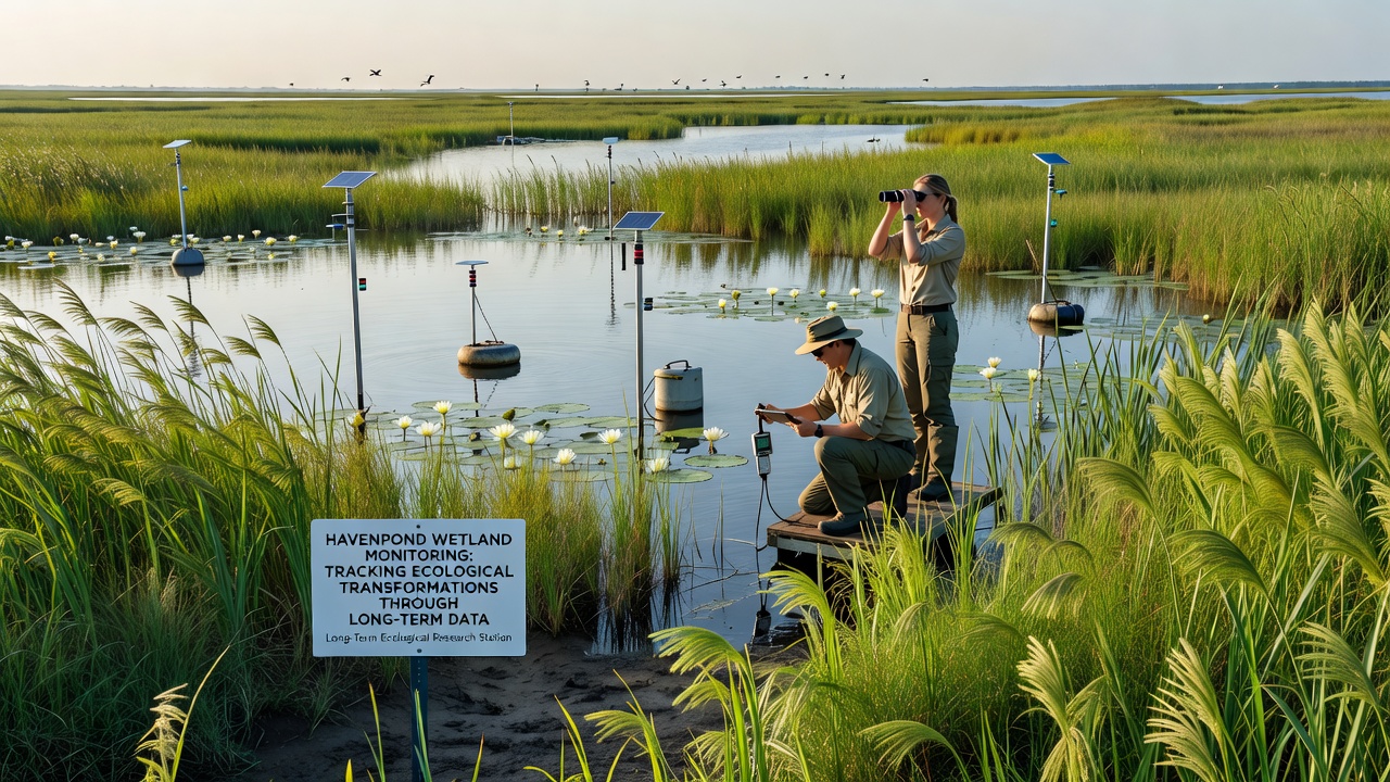
Long-term monitoring programs in Havenpond's wetland expanses record shifts in vegetation cover, water chemistry, and species populations across decades of observation, and researchers deploy sensor networks alongside periodic field surveys to capture these changes at multiple scales. Data collection began in the early 1990s with quarterly sampling of pH levels, dissolved oxygen, and nutrient concentrations, while later expansions added satellite imagery analysis and acoustic recording devices for avian and amphibian activity.
Core Monitoring Methods
Teams establish permanent transects through marsh, swamp, and riparian zones, then measure plant density and biomass every spring and fall; they also install piezometers to track groundwater fluctuations and deploy buoys equipped with temperature and turbidity probes that transmit readings at fifteen-minute intervals. Remote sensing specialists process multispectral images from Landsat and Sentinel satellites to quantify emergent vegetation extent, and they cross-reference these maps with ground-truth plots to refine classification accuracy. In addition, genetic sampling of water and soil extracts identifies microbial community composition shifts that often precede visible habitat alterations.
Observed Patterns Over Time
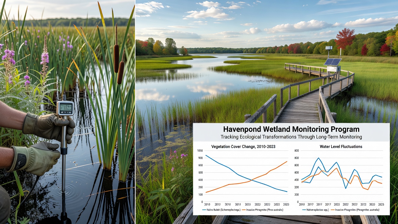
Records show that average annual temperatures in the wetlands rose by 1.4 degrees Celsius between 1995 and 2024, correlating with earlier spring green-up dates for cattail and sedge communities. Water level hydrographs reveal shorter hydroperiods in the central basin, where surface water now persists an average of twenty-three fewer days each summer compared with baseline measurements from the first decade of monitoring. Bird survey counts document a gradual replacement of obligate wetland species with generalist birds that tolerate drier conditions, while fish trap data indicate increased dominance of warm-water tolerant taxa during late-season sampling events.
September 2026 Data Release Highlights
In September 2026 the Havenpond Ecological Observatory published its latest synthesis report covering the prior thirty-six months of continuous logging. Analysts noted accelerated encroachment of invasive reed stands into previously open water areas, with total coverage expanding by eighteen percent since the 2023 assessment. Nutrient loading measurements from upstream agricultural tributaries remained elevated, yet dissolved phosphorus concentrations declined slightly following the installation of riparian buffer strips along two tributary channels in 2024. Acoustic monitoring arrays captured peak calling activity of several frog species shifting two weeks earlier than the long-term median, consistent with warmer spring conditions recorded across the region.
Integration With Regional Datasets
Researchers compare Havenpond findings against broader North American wetland networks coordinated through the U.S. Environmental Protection Agency wetland monitoring protocols, which supply standardized metrics for cross-site analysis. They also incorporate Australian wetland condition indices developed by the Department of Climate Change, Energy, the Environment and Water to evaluate analogous drying trends observed on another continent. These comparative frameworks allow identification of shared drivers such as altered precipitation regimes and land-use intensification that operate beyond local boundaries.
Technology Upgrades and Future Protocols
Starting in 2025, monitoring crews introduced drone-based LiDAR flights to generate high-resolution digital elevation models that improve inundation forecasts under different rainfall scenarios. Machine-learning algorithms now process the growing archive of camera-trap images to automate species identification and count, reducing manual review time by roughly sixty percent. Plans for the next five-year cycle include expanded eDNA metabarcoding of benthic invertebrates and integration of citizen-science observations collected through mobile applications that verify satellite-derived vegetation maps at finer spatial grains.
Conclusion
Decades of systematic observation in Havenpond demonstrate measurable ecological transformations driven by interacting climate and land-management factors, and continued refinement of monitoring technologies supports timely detection of further shifts. The September 2026 dataset underscores both the value of sustained investment in long-term records and the utility of linking site-specific measurements to international wetland assessment frameworks for improved understanding of regional patterns.